

Description
Book Synopsis: This European political wall map is one of the finest maps of Europe available. Map details: Our political wall map of Europe marks countries in different colors and shows international boundaries. This map displays all major towns and cities in Europe, and clearly shows the countries' capital cities. The map contains shaded relief on land and in the sea, adding to the vibrant overall effect. The wall map also has a section showing the different flags of the European countries. If you are looking to buy a map of Europe, you won't be disappointed by this stunning wall map.
Map uses: Home decor, Living room, Study, Office, Large wall space, Learning.
Made from: This Political Europe Wall Map is printed on 48lb poster paper and left unfinished. Delivered rolled in a tube.
Details
Looking to adorn your living room or office with a captivating centerpiece? Look no further than our Maps International Huge Political Europe Wall Map. This meticulously crafted map is a masterpiece of cartography, showcasing the diverse beauty and cultural diversity of Europe.
Our political wall map of Europe features vivid colors to delineate between countries and clearly displays international boundaries. This level of detail allows you to explore the continent with ease, while also serving as a stunning visual statement.
Not only does our map include all major towns and cities in Europe, but it also highlights each country's capital city. Whether you're planning a European adventure or simply yearning to satisfy your wanderlust, this map will constantly remind you of the countless destinations awaiting your exploration.
With shaded relief on both land and sea, our map adds a captivating three-dimensional effect, immersing you in the landscape and evoking the beauty of Europe's diverse terrain. Additionally, the map includes a comprehensive section displaying the flags of each European country, celebrating their unique heritage and identity.
Our Political Europe Wall Map is printed on durable 48lb poster paper, ensuring its longevity and allowing it to seamlessly blend into any home decor, study, office, or large wall space. Delivered neatly rolled in a tube, it arrives in pristine condition, ready to be proudly displayed.
Don't let your walls remain blank canvases begging for some inspiration. Elevate your space with the Maps International Huge Political Europe Wall Map and let the wonders of Europe fill your world. Purchase now and make your mark on the world with style and sophistication. Shop now.
Discover More Best Sellers in Maps
Shop Maps
National Geographic New York Wall Map (40.5 x 30.25 in) (National Geographic Reference Map)

 Maps - National Geographic New York Wall Map (40.5 x 30.25 in) (National Geographic Reference Map)
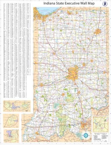
36x54 Indiana State Official Executive Laminated Wall Map
 Maps - 36x54 Indiana State Official Executive Laminated Wall Map
![Maps - 13x19 Texas General Reference Wall Map - Anchor Maps USA Foundational Series - Cities, Roads, Physical Features, and Topography [Rolled]](https://images-na.ssl-images-amazon.com/images/I/513Senql8GL._AC_SL1500_.jpg) Maps - 13x19 Texas General Reference Wall Map - Anchor Maps USA Foundational Series - Cities, Roads, Physical Features, and Topography [Rolled]
Maps - 13x19 Texas General Reference Wall Map - Anchor Maps USA Foundational Series - Cities, Roads, Physical Features, and Topography [Rolled]

Cool Owl Maps Florida State Wall Map Poster Rolled (Laminated 30"Wx31"H)
Maps - Cool Owl Maps Florida State Wall Map Poster Rolled (Laminated 30"Wx31"H)
 Maps - US National Parks Scratch Off Map - Large Scratch Off National Parks Poster 24"x 17" 62 US National Parks. Gold Foil Featuring Detailed Images. Includes Scratch Off Pen, Pick and Brush

Los Angeles, California Wall Map, Large - 43" x 29" Matte Plastic
Maps - Los Angeles, California Wall Map, Large - 43" x 29" Matte Plastic

Cool Owl Maps Pennsylvania State Wall Map Poster Rolled 34"Wx24"H (Laminated)
Maps - Cool Owl Maps Pennsylvania State Wall Map Poster Rolled 34"Wx24"H (Laminated)

Italy Physical Poster Map - 16.5 x 23.3 inches - Paper Laminated
Maps - Italy Physical Poster Map - 16.5 x 23.3 inches - Paper Laminated

