

Features
Details
Looking for a stunning wall map that combines style and educational value? Look no further than the Cool Owl Maps USA County Wall Map Poster. This 36"Wx24"H" paper map is designed with an eye-catching black and white color scheme, making it a sleek and sophisticated addition to any home or office decor. The black banded states with capitals provide clarity and easy reference, making it perfect for both geography enthusiasts and students alike.
What sets this map apart from the rest is its comprehensive coverage of all US counties. You won't find another map that includes every single county in the United States. Whether you're researching demographic trends, planning a road trip, or simply want to learn more about your own county, this map has got you covered.
Made and printed right here in the U.S.A., the Cool Owl Maps USA County Wall Map Poster is a testament to quality craftsmanship. Carefully designed with attention to detail, this map is an accurate representation of the diverse geography and complex county borders across the nation. It's printed with precision using high-quality materials, ensuring crisp lines, vibrant details, and long-lasting durability.
Don't miss out on the opportunity to own this must-have map for 2021. Expand your knowledge, decorate your space, and make a statement with the Cool Owl Maps USA County Wall Map Poster. Order now and elevate your surroundings with this exceptional piece of cartographic art.
Discover More Best Sellers in Maps
Shop Maps
Rand McNally Easy to Fold: New England Laminated Map
 Maps - Rand McNally Easy to Fold: New England Laminated Map

 Maps - UK Map - Classic Wall Map Of The United Kingdom Poster - Front Lamination, UK Map - Classic Wall Map Of The United Kingdom Poster - Front Lamination - 33 x 23in

Cool Owl Maps Wyoming State Wall Map Poster Rolled 32"Wx24"H (Paper)
Maps - Cool Owl Maps Wyoming State Wall Map Poster Rolled 32"Wx24"H (Paper)

National Geographic: The Arctic - North Pole Wall Map - 28 x 22 inches - Art Quality Print
Maps - National Geographic: The Arctic - North Pole Wall Map - 28 x 22 inches - Art Quality Print

National Parks Map Poster Slate Edition (24W x 16H inches)
Maps - National Parks Map Poster Slate Edition (24W x 16H inches)

Philadelphia, Pennsylvania Wall Map, Large - 22.75" x 15.5" Laminated
Maps - Philadelphia, Pennsylvania Wall Map, Large - 22.75" x 15.5" Laminated
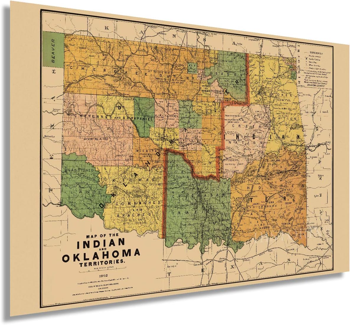 Maps - HISTORIX Vintage 1892 Map of the Indian and Oklahoma Territories - 24x36 Inch Vintage Map of Oklahoma Wall Art - Vintage Oklahoma Map - Indian Territory Map - Oklahoma Map Poster
 Maps - Multilayered 3D Wooden World Map, Travel Map with States and Capitals, Wall Decor For The New House, Gift For Travelers, Office Decor, Birthday Present, Living Room Decoration, Gift for Boys, Educational Activity for Children (L, Mixed)

