

Description
Book Synopsis: Rand McNally's Easy To Read State Folded Maps are a must-have for anyone traveling in and around these states, offering unbeatable accuracy and reliability at a great price. Their trusted cartography shows all Interstate, U.S., state, and county highways, along with clearly indicated parks, points of interest, airports, county boundaries, and streets. The easy-to-use legends and detailed indexes make for quick and easy locations of destinations. Rand McNally folded maps have been the trusted standard for years.
Details
Planning a trip to Louisiana or Mississippi? Don't leave home without Rand McNally's Easy To Read State Folded Maps! With unbeatable accuracy and reliability, these maps are a must-have for any traveler. Whether you're navigating the bustling streets of New Orleans or exploring the scenic beauty of the Mississippi River, Rand McNally has you covered.
Why rely on smartphone apps or GPS devices that may lead you astray when you can have the trusted cartography of Rand McNally? Our maps show all Interstate, U.S., state, and county highways, ensuring you never miss a turn. With clearly indicated parks, points of interest, airports, county boundaries, and streets, you'll always know exactly where you are and what's around you.
Getting around these states has never been easier. The easy-to-use legends and detailed indexes make it a breeze to locate your desired destinations. No more wasted time trying to figure out which exit to take or where a specific street is. Let Rand McNally guide you to your destination efficiently and stress-free. Our folded maps have been the trusted standard for years, relied upon by frequent travelers and locals alike.
Don't let technology failures or connectivity issues ruin your trip. Trust in the tangible reliability of Rand McNally's Easy To Read State Folded Maps. Experience the convenience and peace of mind that comes with having a reliable map always at your fingertips. Get your hands on our Louisiana and Mississippi maps today and start planning your next adventure!
Click here to explore Rand McNally's Easy To Read State Folded Maps now!
Discover More Best Sellers in Maps
Shop Maps
Rand McNally Easy to Read: Central United States Folded Map
 Maps - Rand McNally Easy to Read: Central United States Folded Map
 Maps - National Geographic United States Wall Map - Classic (43.5 x 30.5 in) (National Geographic Reference Map)

USA Map for Kids - LAMINATED - United States Wall Chart Map (18" x 24")
Maps - USA Map for Kids - LAMINATED - United States Wall Chart Map (18" x 24")
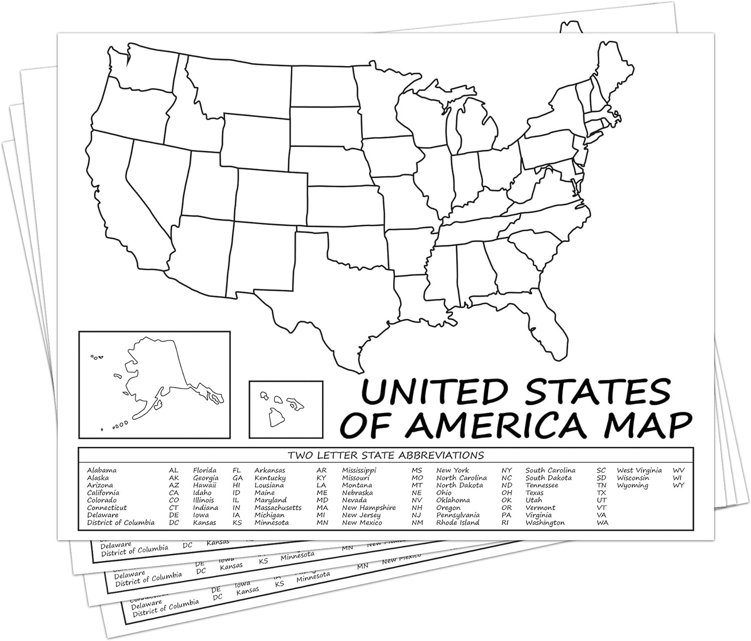 Maps - United States Map - USA Poster, US Educational Map - with 2 Letter State Abbreviation - for Ages Kids to Adults - Home School Office | Printed on 110Lb Card Stock - 8.5 x 11" Inches - Bulk Pack of 10
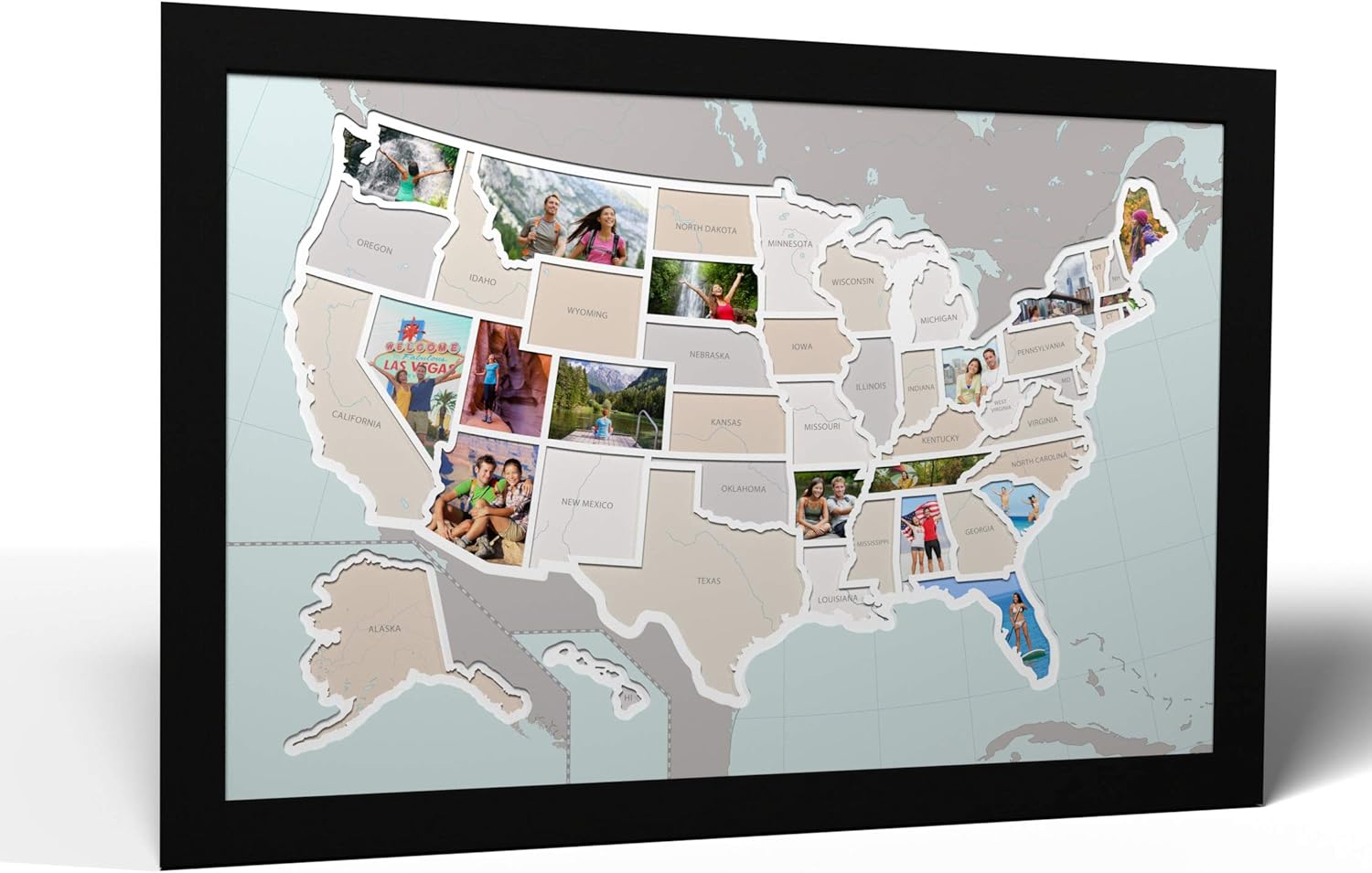
50 States USA Photo Map - Frame Optional - Made in America (Printed Map, Black Frame)
Maps - 50 States USA Photo Map - Frame Optional - Made in America (Printed Map, Black Frame)
 Maps - Antique Style USA Map - Wall Chart Map of The United States of America - Made in The USA - Updated (LAMINATED, 18" x 29")

 Maps - Gunjovi Scratch Off Map Of United States, USA State Scratch Sticker, Travel Map Gift Adventure Wall Poster For Kids Adults (States)
 Maps - National Parks Scratch Off Map of United States Poster – All 63 US National Parks Map – (16.5” X 23.4”) – Fulfill your National Park Checklist with this National Park Poster, USA Gift for Travelers

