

Features
Mapping data by OH State Dept of Transportation
Updated Edition Laminated for durability and dry-erase
Large 36x52 Size
Top selling OH State Wall map
Details
Looking for the perfect wall map to display your love for Ohio State? Look no further than our 36x52 Ohio State Official Executive Laminated Wall Map! This map is the official mapping data provided by the OH State Dept of Transportation, ensuring accuracy and reliability. With its updated edition, you can be sure to have the most current information at your fingertips.
Our wall map is laminated for extra durability, making it resistant to tearing and water damage. This means it will last for years, allowing you to proudly showcase it in your home or office without worrying about wear and tear. Plus, the laminated surface makes it perfect for using dry-erase markers, allowing you to easily mark and annotate the map as needed.
Measuring a large 36x52 size, this wall map is perfect for capturing every detail of Ohio State. Whether you're a student, a proud parent, or a passionate resident, this map is an essential addition to your decor. With its clear and concise presentation, you'll be able to explore the state's cities, highways, landmarks, and more with ease.
Join the countless customers who have made our Ohio State Official Executive Laminated Wall Map their top choice. Don't settle for subpar alternatives - choose the best-selling OH State Wall map on the market! Enhance your understanding of Ohio State and display your pride in style. Get yours today!
Visit our website to order your own 36x52 Ohio State Official Executive Laminated Wall Map now!
Discover More Best Sellers in Maps
Shop Maps


 Maps - National Geographic World Wall Map - Classic - Laminated (Enlarged: 69.25 x 48 in) (National Geographic Reference Map)

World Map for Kids - LAMINATED - Wall Chart Map of the World
Maps - World Map for Kids - LAMINATED - Wall Chart Map of the World
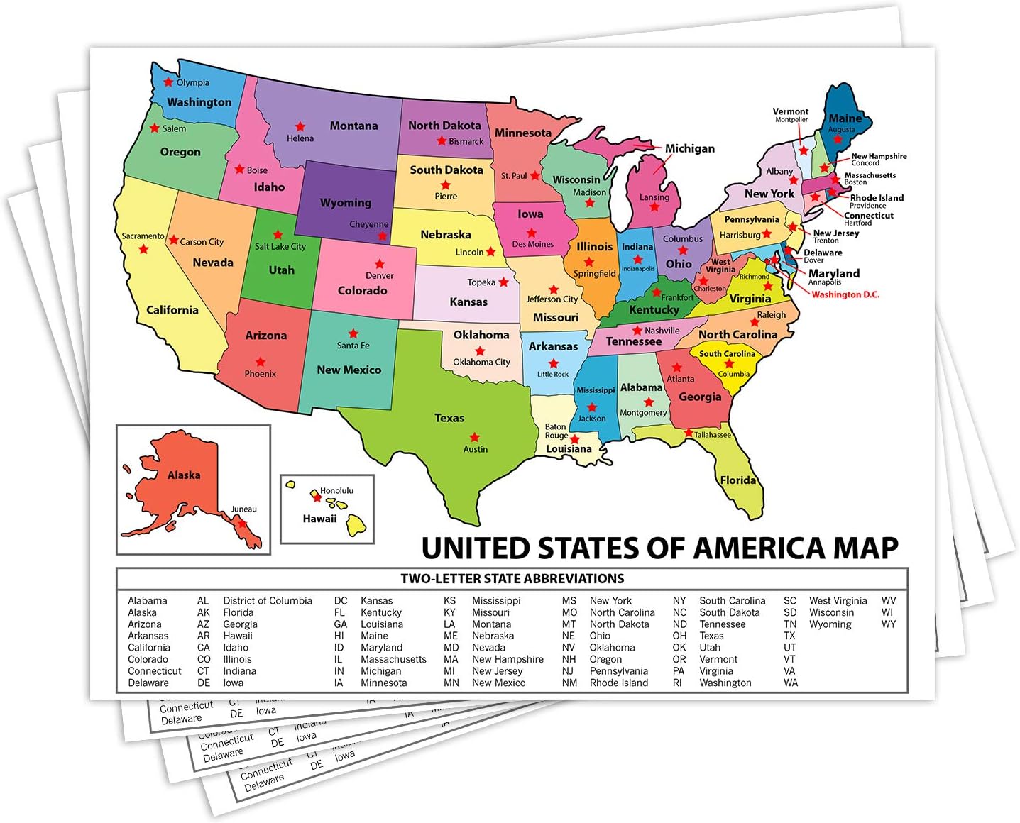 Maps - United States Map - USA Poster, US Educational Map - With State Capital - for Ages Kids to Adults- Home School Office - Printed on 12pt. Glossy Card Stock | Bulk Pack of 10 | 8.5 x 11 Inches
 Maps - Epic Adventure Maps The United States Push Pin Map 24" x 17" - Unframed Travel Map to Mark Your Travels Around The USA - Multicolored Pushpins Included
 Maps - INFINITE PHOTOGRAPHS 1875 Map of |South America|Title: Colombia Prima or South America Drawn from The Large Map in Eight

 Maps - National Geographic: Countries of the Mediterranean Classic Wall Map - 30.25 x 23.5 inches - Art Quality Print

Chicago, Illinois Wall Map, Large - 30" x 29" Paper
Maps - Chicago, Illinois Wall Map, Large - 30" x 29" Paper

USA Map with County Names - Large - 48" x 38.5" Laminated
Maps - USA Map with County Names - Large - 48" x 38.5" Laminated
